 |
| Griffith Knob and Peak 3681 |
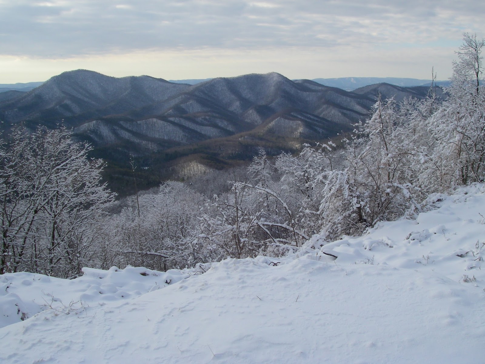
These two peaks are on Brushy Mountain, located in the northern part of the county only a few minutes from U.S. Highway 52, and are within Jefferson National Forest. Respectively, they are the seventh and fifth highest peaks in the county, and the higher Griffith Knob is also the most prominent peak in Wythe County. It should be pointed out that part of this hike is quite steep and on very faint trails, and part of it is completely off-trail, albeit in relatively open woods. As such, it is probably best done in cooler and less vegetated months. The views will also be better then. It is also easy to do only Peak 3681 for a round trip of only around two miles, though because of the route, there is little reason to not include the short side trip to the top of this one even if the primary goal is only Griffith Knob.
 |
| Mount Rogers and Whitetop from Peak 3681. |
 |
| Admiring the view of Stony Fork Valley and Little Walker Mountain from Griffith Knob. |
After taking in the views, simply return back to the spot where the crest of the ridge was attained on the first leg of the hike - and again, remember it well, as it is easy to miss. At this point, you should head downhill about 1/10 mile along the southeastern ridge, losing a couple hundred feet of elevation, then regaining it to the top of the next unnamed knob at 3,640'. At this point, continue eastward on an old woods road, losing only about 50' before making a final 200' climb up Griffith Knob. It should be mentioned that the rest of the route is on the boundary between National Forest and private property, so don't please don't wander off the ridge crest to the south or east. There is no view from the top, but this is the most prominent peak in Wythe County and knowing that gives a certain satisfaction of its own if one cares about such things. Incidentally, when viewed from several miles away to the east, especially when the leaves are off and there is a bit of snow on the ground, the broad top surrounded by steep slopes and horizontal rock banding give this mountain a very “Catskillian” look that is quite impressive.
 |
| The conspicuou |
One might as well have the views too though. About ¼ mile down the north ridge, where it begins to narrow and then drop off more abruptly, there is a small clifftop opening a few yards off to the right. This is easily the best view of the hike, with an open arc of the landscape to the east and southeast. Little Walker Mountain, Queens Knob, and Sand Mountain are all in plain view and the solitary volcano-like and symmetrical form of Floyd County's Buffalo Mountain is very conspicuous to the southeast on a clear day, despite its being 44 miles away. This is a great spot to hang out for a while and enjoy what will almost certainly be complete solitude. On the return trip, hope you were paying enough attention to your route to avoid going down the wrong ridge anywhere, something that would be very easy to do in at least four different areas. A recorded track on a GPS could be much appreciated now, but it is still better if you made a mental note of key direction changes on your way here.
This hike is not going to attract crowds of people from all over the Southeast, or even the state. However, if you live within an hour or so, and are looking for something new and different, but not without some rewards, this is one of those little known hikes that can fit the bill. There are many more...
To see the topo map larger on this site, click on the map. Or click here to see it on CalTopo.
Elevation profile for this hike.
Hike stats: 4.2 miles, 1,950' cumulative elevation gain
More pics:
Resources:
Trailhead coordinates: 37.0120, -81.2283
created with Chrome OS


No comments:
Post a Comment